Map Mix-Up Sparks Diplomatic Buzz: Pakistan Flags US Depiction of Kashmir and Aksai Chin
A map posted by the United States has stirred diplomatic chatter in South Asia after it appeared to show Pakistan-occupied Kashmir (PoK) and Aksai Chin as part of India. The visual, shared by the Office of the United States Trade Representative (USTR), prompted a swift response from Islamabad — and was later taken down.
According to Pakistan’s Foreign Ministry, officials reached out to Washington after the map surfaced, calling the depiction inaccurate and inconsistent with the United Nations’ recognized portrayal of the disputed region.
What Triggered the Row?
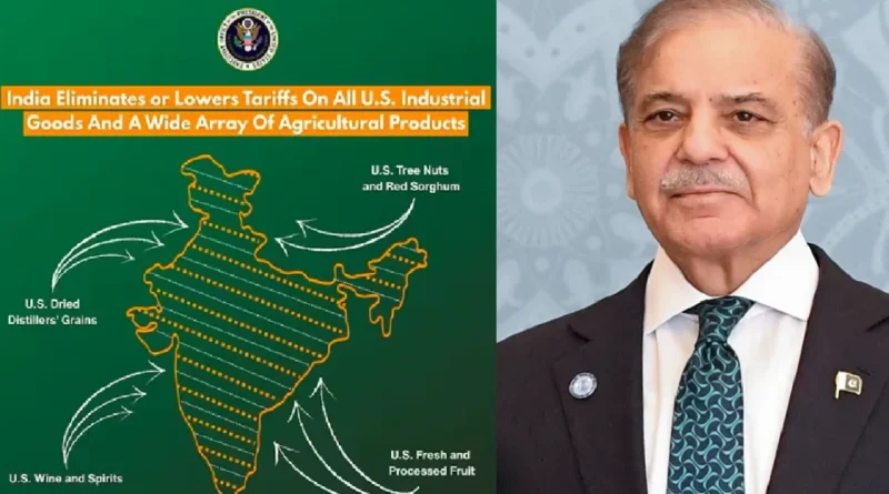
The controversy began when the USTR published details of a newly announced trade framework between India and the United States. Alongside the announcement, the office shared a map of India that included the entire Jammu and Kashmir region — including PoK — within Indian borders. The map also showed Aksai Chin, a high-altitude region claimed by China, as part of India.
For Pakistan, this was more than just cartography. Officials described the move as embarrassing and inconsistent with established international representations of the region.
A spokesperson for Pakistan’s Foreign Ministry said the issue was formally raised with U.S. authorities. He emphasized that the map did not align with the United Nations’ legally recognized depiction of Jammu and Kashmir, which marks the territory as disputed. He added that the internationally accepted version — available through UN sources — clearly differentiates between Pakistani- and Indian-administered areas.
Islamabad Seeks Clarification
Pakistan maintained that it contacted American officials soon after spotting the map. According to Islamabad, U.S. authorities acknowledged the error. The spokesperson suggested that the image had been posted by “certain individuals,” implying it may not have reflected official U.S. policy.
Soon after, the USTR removed the post from its official X (formerly Twitter) account — a move that effectively cooled the immediate online storm, though questions lingered.
Islamabad later expressed satisfaction that the necessary corrections were made, saying the revised position reflected the UN-approved legal framework, which describes Jammu and Kashmir as a disputed territory to be resolved in accordance with UN Security Council resolutions — potentially through a UN-supervised plebiscite.
A Shift in Tone — or Just a Slip?
The episode drew attention because it appeared to depart from Washington’s long-standing approach of carefully wording and visually representing the Kashmir issue. While India does not require international validation of its territorial claims, observers noted that U.S. depictions have traditionally avoided moves that could be interpreted as taking sides.
That’s why speculation quickly followed: Was this a simple oversight by a communications team? Or did it signal something more deliberate amid strengthening U.S.–India ties?
The timing added fuel to the discussion. Just days earlier, India and the United States had unveiled a new trade framework aimed at lowering tariffs and expanding access between two economies whose combined size exceeds $30 trillion. As part of that rollout, the map was released — and then quietly withdrawn.
The Bigger Picture
Territorial maps in South Asia are never just graphics; they carry heavy political weight. In regions like Jammu and Kashmir and Aksai Chin — where multiple countries have competing claims — even a subtle shift in depiction can trigger diplomatic friction.
For now, the removal of the map seems to have eased immediate tensions. But the brief flare-up underscores how sensitive regional geopolitics remain, especially when global powers weigh in — intentionally or otherwise.